Ever drive through a mystery funk and wonder who to blame? Map the refineries, feedlots, paper mills, and EPA Superfund & brownfield sites around you — and finally put a name to that smell.
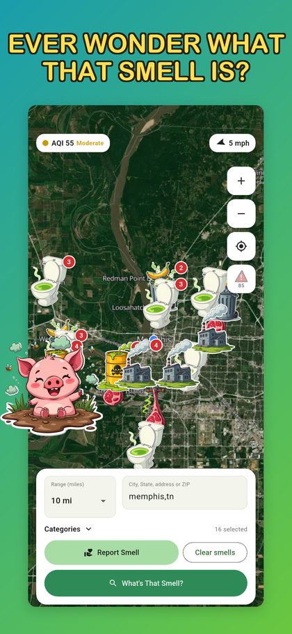
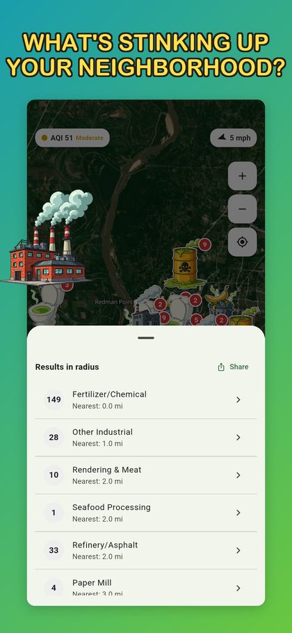
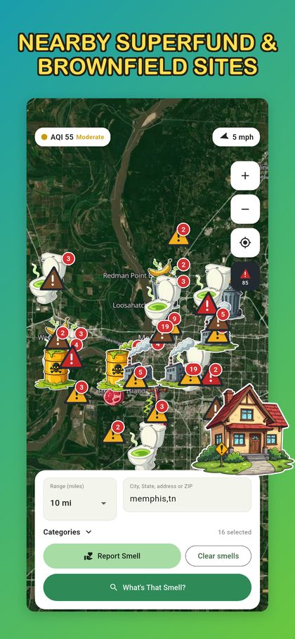
Everything the app has: 190,000+ EPA-listed facilities, plus Superfund and brownfield sites. Search a town and see what's around it.

Search a city or zip to see what's upwind — just like the app.
Public EPA records. A listing is not proof of a smell, and does not mean a site is currently unsafe.
Free on iOS and Android. No account, no sign-up — just open it and sniff around.

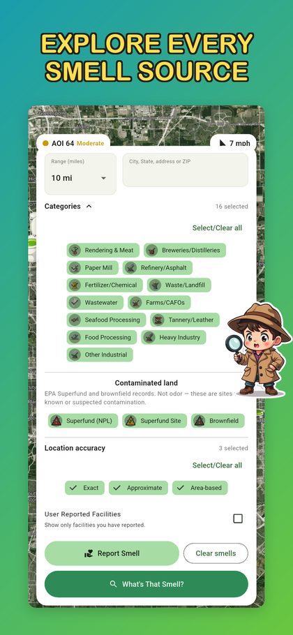
Refineries, feedlots, rendering plants, paper mills, wastewater — 19 categories, each with its own icon. Every pin tells you what kind of place it is.

Moving? Traveling? Scan any address for nearby facilities and EPA contaminated-land records before you commit.
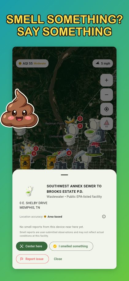
Smell something? Say something. Drop a pin, rate the stench, and warn (or entertain) the people around you.

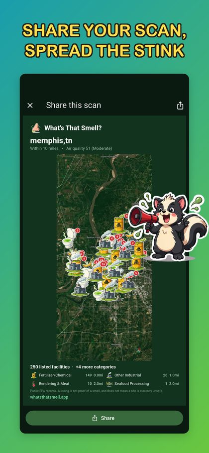
Turn any scan into a shareable card for group chats and socials. Spread the word, not the smell.
It started with a simple question: what's that smell?
It's surprisingly hard to answer. There's a huge amount of public environmental information out there, but most of it lives in government databases that were never designed for someone standing in their backyard wondering what they're smelling and where it's coming from.
So I started building the tool I wanted to have. What's That Smell brings public facility records, environmental sites, wind direction, and community smell reports together on one map that's easy to explore.
The idea isn't to tell you exactly what you're smelling — a map can't do that. It's to give you context: what's nearby, what's upwind, what other people have noticed, and where you might want to look next.
This has changed a lot since the first version. People have pointed out missing facilities, questionable locations, incomplete data, and layers they wanted to see — and some of the best improvements came straight out of those conversations.
The facility and environmental layers come from public government records, including EPA data. What's That Smell doesn't create those records — it just makes them easier to explore. Community smell reports are something separate: those are people's own observations, and they're subjective by nature.
What's That Smell isn't a big company or a government program. It's an independent project built and maintained by one person.
I host the server, maintain the data and map, fix things when people find problems, and keep improving it when there's something worth improving.
The app and map are free to use, with no subscription required.
What's That Smell is free, but it isn't free to run. I pay for the hosting, the map service, and the server.
If you've found it useful — or just got a laugh out of it — you can pitch in.
The app and map stay free either way.
Support What's That Smell ☕
Grab the app and find out what's really in the air.
Already have the app? Support the project ☕